Art

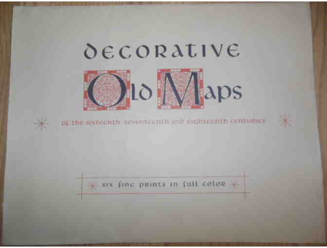
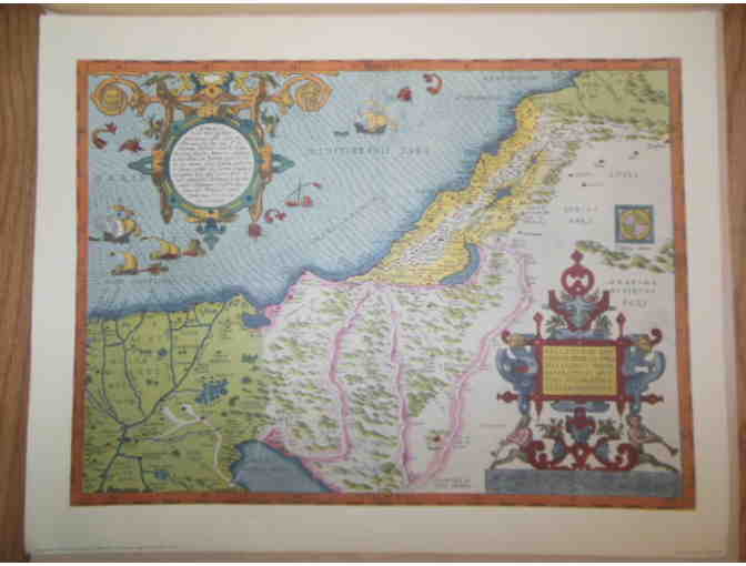
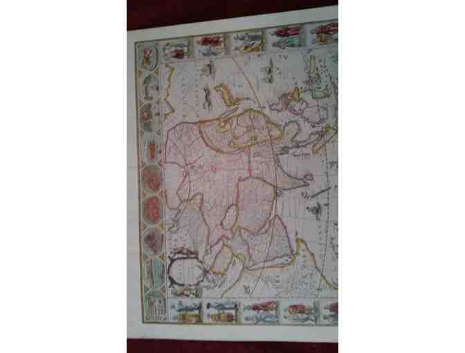
Decorative Old Maps of the Sixteenth, Seventeenth and Eighteenth Centuries
- Item Number
- 501
- Estimated Value
- Priceless
- Opening Bid
- 150 USD
Item Description
Decorative Old Maps of the Sixteenth, Seventeenth and Eighteenth Centuries (Six Fine Prints in Full Color 1940) - Publisher: New York City Penn Press circa 1940
American Football Association stores data...
Your support matters, so American Football Association would like to use your information to keep in touch about things that may matter to you. If you choose to hear from American Football Association, we may contact you in the future about our ongoing efforts.
Your privacy is important to us, so American Football Association will keep your personal data secure and American Football Association will not use it for marketing communications which you have not agreed to receive. At any time, you may withdraw consent by emailing Privacy@frontstream.com or by contacting our Privacy Officer. Please see our Privacy Policy found here PrivacyPolicy.