Books & Maps

USGS MAPS 1947 Boston, MA and Albany, NY
- Item Number
- 193
- Estimated Value
- 100 USD
- Opening Bid
- 25 USD
Item Description
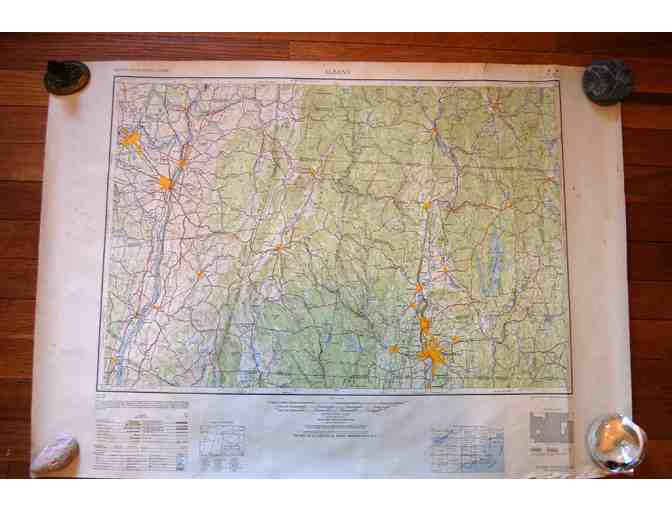
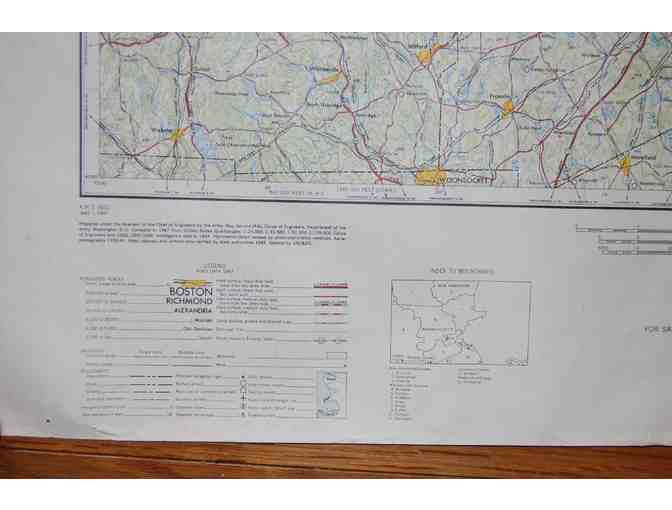
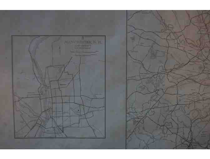
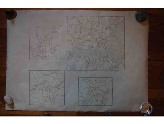
Two large USGS maps from the Eastern U.S. Series, 1947. Each is 1:250,000, in color & in excellent condition. Reverse side is B&W with blow-up maps of cities, as noted below. 34” x 24”. Hand-delivery within NH & parts of MA or VT can be arranged or add $20 for S/H.
(1) “Boston” – includes eastern MA & southern NH: west to Gardner and Peterborough; north to Manchester; south to RI border. Reverse shows Lowell, Lawrence, Boston & Greater Manchester, NH. Minor light stains along the sides that don’t affect actual map.
(2) “Albany” – includes western MA (as far east as Winchendon & Southbridge); southern VT & NH (as far north as Putney & east as Dublin) & part of NY (Columbia, Rensselaer & Schnectady cos). Reverse shows Greater Springfield, Albany, Troy & Schnectady
Donated By:

Elizabeth Durfee Hengen, Preservation Consultant
New Hampshire Preservation Alliance stores data...
Your support matters, so New Hampshire Preservation Alliance would like to use your information to keep in touch about things that may matter to you. If you choose to hear from New Hampshire Preservation Alliance, we may contact you in the future about our ongoing efforts.
Your privacy is important to us, so New Hampshire Preservation Alliance will keep your personal data secure and New Hampshire Preservation Alliance will not use it for marketing communications which you have not agreed to receive. At any time, you may withdraw consent by emailing Privacy@frontstream.com or by contacting our Privacy Officer. Please see our Privacy Policy found here PrivacyPolicy.