Art & Memorabilia

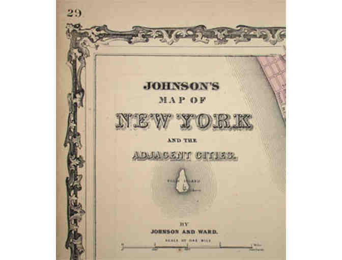
Antique Johnson's Map of New York and the Adjacent Cities from George Glazer Gallery
- Item Number
- 404
- Estimated Value
- 400 USD
- Sold
- 420 USD to mg0b4a524
- Number of Bids
- 12 - Bid History
Item Description
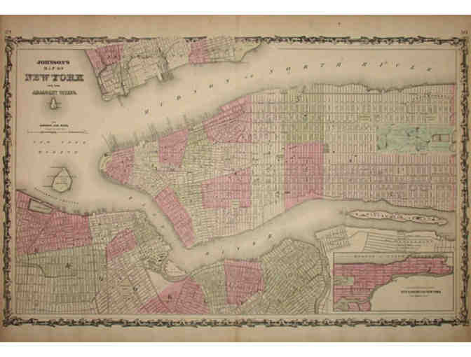
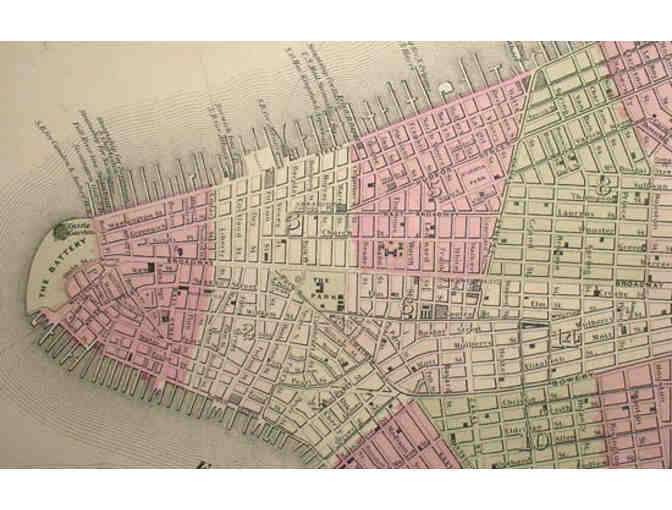
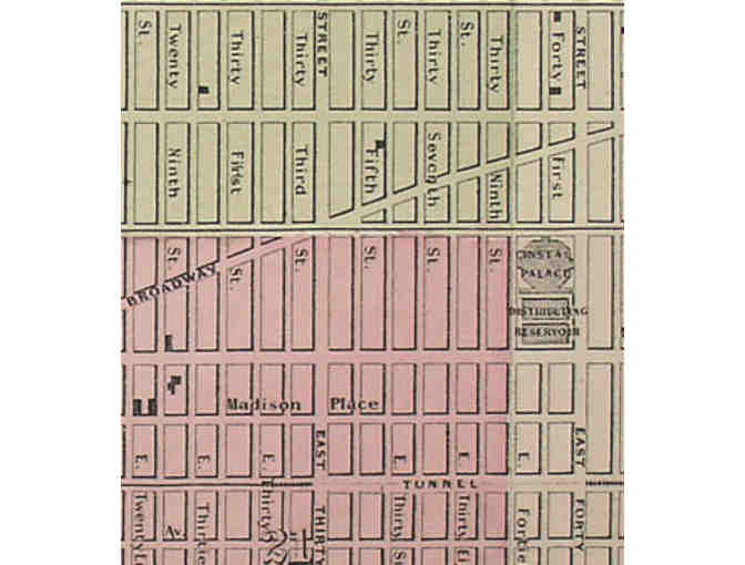
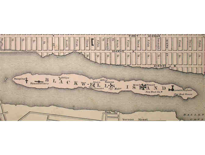
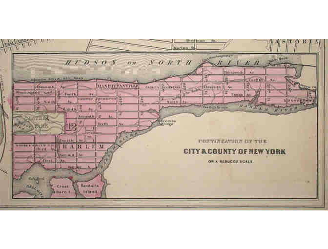
Winner will receive Johnson's Map of New York and the Adjacent Cities from Johnson's New Illustrated (Steel Plate) Family Atlas, New York: 1864. This detailed large map of Manhattan and parts of Brooklyn, Jersey City and Hoboken, is set within an elaborate Victorian foliate border. Manhattan is shown from Battery Park to 88th Street. Governors Island, Ellis Island, the U.S. Cob Dock and Blackwell Island (later renamed Roosevelt Island) are also shown. An inset map in the lower right titled, "Continuation of the City & County of New York on a Reduced Scale" shows the rest of Manhattan from 86th Street north. The map of Brooklyn includes the downtown area surrounding the Navy Yard, as far south as Red Hook and as far north as Williamsburg and Greenpoint.
Donated By:
Brett & Youlia Rowland
The International Preschools stores data...
Your support matters, so The International Preschools would like to use your information to keep in touch about things that may matter to you. If you choose to hear from The International Preschools, we may contact you in the future about our ongoing efforts.
Your privacy is important to us, so The International Preschools will keep your personal data secure and The International Preschools will not use it for marketing communications which you have not agreed to receive. At any time, you may withdraw consent by emailing Privacy@frontstream.com or by contacting our Privacy Officer. Please see our Privacy Policy found here PrivacyPolicy.