Collectibles

Her Royal Majesty's Limited Edition British Maps
- Item Number
- 196
- Estimated Value
- 250 USD
- Sold
- 75 USD to lg90860a8
- Number of Bids
- 1 - Bid History
Item Description
During the 1950’s and 1960’s, the British Museum and Library published reproductions of 16th and 17th century British county maps. They were produced by Taylowe Limited, and published by British Museums Publications Ltd.
There are 15 Maps in the collection. Each measures 20x 25 inches, all in pristine condition on heavy cream paper suitable for framing.
One is by John Speed; the other 14 are by Christopher Saxton. All British Museum Number—C.7.c.I, except Speed map.
Saxton was the first cartographer to produce county maps in Britain and his maps were collected into the Atlas of the Counties of England and Wales published in 1579 at the request of Queen Elizabeth I. It was the first atlas of any country in the world.
The maps are as follows:
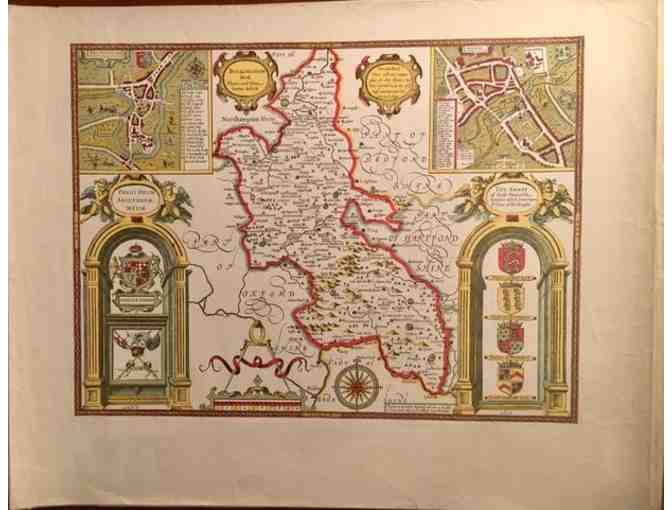
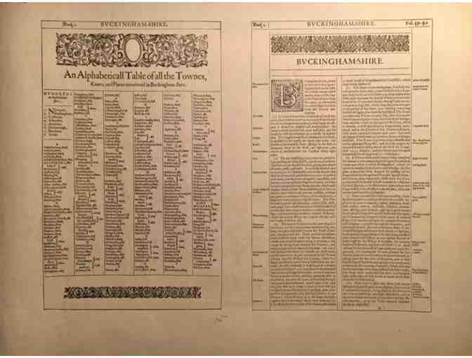
- Speed, Buckinghamshire, 1610. With text on reverse. No date of reproduction publication.
- Saxton, Warwickshire and Leicestershire, 1576 (1959)
- Saxton, Shropshire, 1577 (1963)
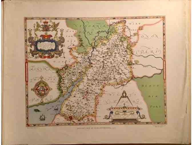
- Saxton, Gloucestershire, 1577 (1968)
- Saxton, Glagmorganshire, 1578 (1965)
- Saxton, Cheshire, 1577 (1964)
- Saxton, Westmoreland and Cumberland, 1576 (1963)
- Saxton, Denbighshire and Flintshire, 1577 (1964)
- Saxton, Durham, 1576 (1964)
- Saxton, Herefordshire, 1577 (1964)
- Saxton, Hertfordshire, 1577 (1959)
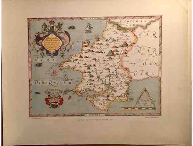
- Saxton, Pembrokeshire, 1578 (1964)
- Saxton, Monmouthshire, 1577 (1964)
- Saxton, Staffordshire, 1577 (1968)
- Saxton, Derbyshire, 1577 (1963)
Item Special Note
Winner is responsible for mailing costs or pick-up
Donated By:
Sal Cilella, CGP'70
Cooperstown Graduate Association stores data...
Your support matters, so Cooperstown Graduate Association would like to use your information to keep in touch about things that may matter to you. If you choose to hear from Cooperstown Graduate Association, we may contact you in the future about our ongoing efforts.
Your privacy is important to us, so Cooperstown Graduate Association will keep your personal data secure and Cooperstown Graduate Association will not use it for marketing communications which you have not agreed to receive. At any time, you may withdraw consent by emailing Privacy@frontstream.com or by contacting our Privacy Officer. Please see our Privacy Policy found here PrivacyPolicy.