Art & Collectibles

A Detailed Map of Berkshire County & Trail Maps
- Item Number
- 127
- Estimated Value
- 65 USD
- Sold
- 49 USD to vpc00
- Number of Bids
- 6 - Bid History
Item Description
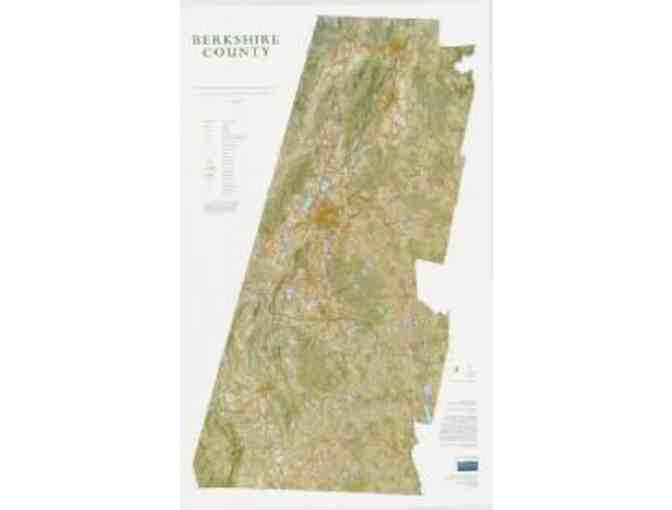
Full-color map of Berkshire County from Berkshire Natural Resources Council. Shows roads, topography, vegetative cover, public recreational lands and man-made structures. Attractive as decorative wall hanging, invaluable as an informational resource.
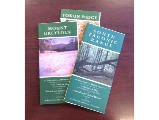
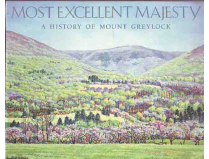
To get you up and outdoors there are trail maps for Mount Greylock, Yokun Ridge and South Taconic Range along with the book Most Excellent Majesty: History of Mount Greylock.
Item Special Note
Bidder is responsible for shipping and handling, which will be added to the winning bid amount. Item(s) will be shipped USPS and billed at standard industry rates. Insurance for fragile items may be added. Items may also be picked up at 1Berkshire. No exchanges or cash value.
Donated By:
1Berkshire Strategic Alliance stores data...
Your support matters, so 1Berkshire Strategic Alliance would like to use your information to keep in touch about things that may matter to you. If you choose to hear from 1Berkshire Strategic Alliance, we may contact you in the future about our ongoing efforts.
Your privacy is important to us, so 1Berkshire Strategic Alliance will keep your personal data secure and 1Berkshire Strategic Alliance will not use it for marketing communications which you have not agreed to receive. At any time, you may withdraw consent by emailing Privacy@frontstream.com or by contacting our Privacy Officer. Please see our Privacy Policy found here PrivacyPolicy.