Art

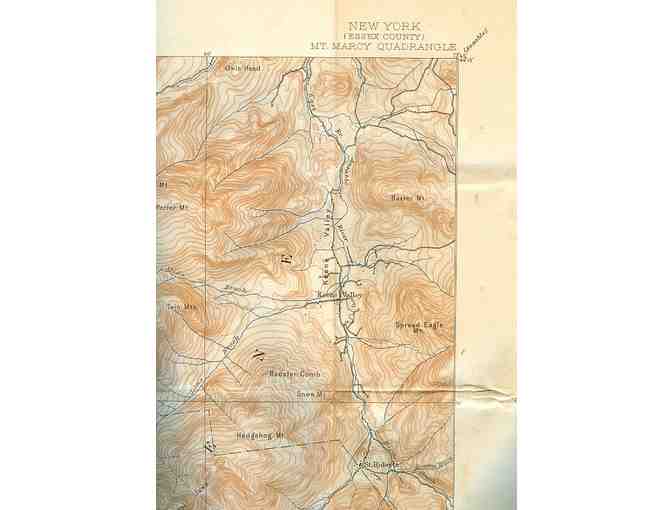
Mt. Marcy Quadrangle Topographical Map, 1947
- Item Number
- 196
- Estimated Value
- 20 USD
- Sold
- 70 USD to kb30618d9
- Number of Bids
- 9 - Bid History
Item Description
Are you a map collector? Here's your chance to own several Adirondack Topographical maps, including; Big Moose Quadrangle, Blue Mountain Quadrangle, West Canada Lakes Quadrangle, Old Forge Quadrangle, Raquette Lake Quadrangle, Long Lake Quadrangle, Mt. Marcy Quadrangle, and Luzerne Quadrangle.
Each map is 17" x 21" and in very good condition.
USGS Department of the Interior Geological Surveys, State of New York, Represented by the Department of Public Works
Each map produced by Wilmurt, H.M. Wilson, Geographer in charge. Surveyed in 1898 in cooperation with the State of New York.
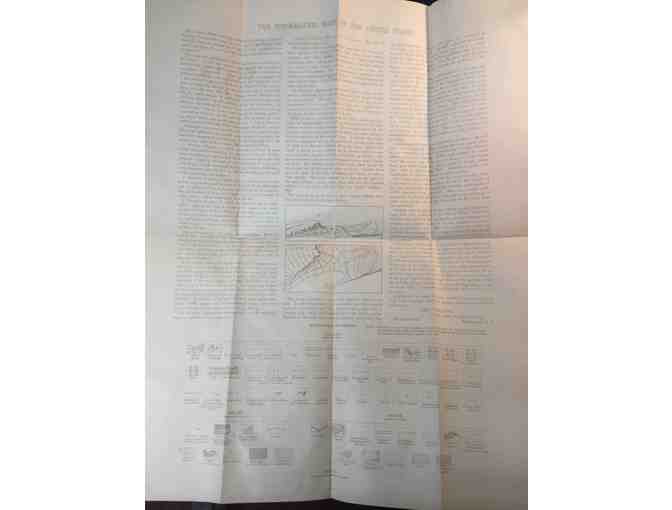
Each map includes a legend at the bottom and history of the project on the back with standard map symbols depicted.
These maps would look amazing in a den, collector's room, or even at camp! These are unframed, so you can choose what will match your decor.
Listed individually, bid on one or the whole set!
Adirondack Mountain Club stores data...
Your support matters, so Adirondack Mountain Club would like to use your information to keep in touch about things that may matter to you. If you choose to hear from Adirondack Mountain Club, we may contact you in the future about our ongoing efforts.
Your privacy is important to us, so Adirondack Mountain Club will keep your personal data secure and Adirondack Mountain Club will not use it for marketing communications which you have not agreed to receive. At any time, you may withdraw consent by emailing Privacy@frontstream.com or by contacting our Privacy Officer. Please see our Privacy Policy found here PrivacyPolicy.
 Placidmere Lodge
 ADK Members, Dr. Martin and Susan Farber
 Carl Heilman Photography
 Terry Rooney

 Pizza Jerks

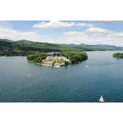 The Sagamore