Maps
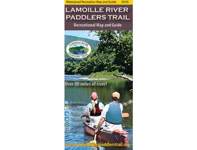
Lamoille Paddlers Trail Map
- Item Number
- 270
- Estimated Value
- 10 USD
- Sold
- 15 USD to vhe1fb588
- Number of Bids
- 4 - Bid History
Item Description
This waterproof map guides paddlers, anglers, and river enthusiasts along 85 miles of Vermont’s picturesque Lamoille River, one of the finest paddling and angling rivers in the state. It also highlights the recreational opportunities throughout the river valley.
Unique design details include:
-
Waterproof, eight panel, two sided map covering 85 river miles
-
All river based recreational facilities (Access points, primitive campsites, campgrounds, portage trails, outfitters, points of interest)
-
Other recreational opportunities (side hikes, bike paths)
-
Natural and cultural history insights
-
River mileages
-
Recommended river trips and their durations
Developed by the White River Partnership and a grant from the Vermont Recreation Trails Program. Cartography by Noah Pollock. Copyright 2019.
Item Special Note
Item will ship froom NFCT office.
Donated By:
Northern Forest Canoe Trail stores data...
Your support matters, so Northern Forest Canoe Trail would like to use your information to keep in touch about things that may matter to you. If you choose to hear from Northern Forest Canoe Trail, we may contact you in the future about our ongoing efforts.
Your privacy is important to us, so Northern Forest Canoe Trail will keep your personal data secure and Northern Forest Canoe Trail will not use it for marketing communications which you have not agreed to receive. At any time, you may withdraw consent by emailing Privacy@frontstream.com or by contacting our Privacy Officer. Please see our Privacy Policy found here PrivacyPolicy.

