Maps
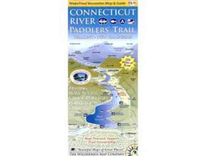
Connecticut River Paddlers' Trail Map
- Item Number
- 271
- Estimated Value
- 10 USD
- Sold
- 25 USD to vhe1fb588
- Number of Bids
- 6 - Bid History
Item Description
This map covers the Connecticut River from its headwaters and 280 miles south to the Massachusetts border. Includes all access points, campsites, portage trails, and information on the area natural and cultural history.
- Waterproof, ten panel, two sided map covering 280 river miles
- All river based recreational facilities (Access points, primitive campsites, campgrounds, portage trails, points of interest)
- Businesses of interest to visitors (outfitters, lodging establishments, convenience stores)
- Other recreational opportunities (side hikes, bike routes and paths, museums and cultural attractions)
- Natural and cultural history insights
- River mileages for access points and campsites
- Recommended river trips and their durations
Developed by the NorthWoods Stewardship Center, the Vermont River Conservancy, and the Vermont Department of Forest Parks and Recreation.
Item Special Note
Item will ship froom NFCT office.
Donated By:
Northern Forest Canoe Trail stores data...
Your support matters, so Northern Forest Canoe Trail would like to use your information to keep in touch about things that may matter to you. If you choose to hear from Northern Forest Canoe Trail, we may contact you in the future about our ongoing efforts.
Your privacy is important to us, so Northern Forest Canoe Trail will keep your personal data secure and Northern Forest Canoe Trail will not use it for marketing communications which you have not agreed to receive. At any time, you may withdraw consent by emailing Privacy@frontstream.com or by contacting our Privacy Officer. Please see our Privacy Policy found here PrivacyPolicy.

